将寻路路径添加到平面图
请按照以下步骤在平面图中加入寻路路径,确保成功的寻路体验。
在Juniper Mist™实施中,室内定位寻路路径就像 GPS 导航应用中的道路一样。寻路路径是用户到达室内目的地所走的路线,通常采用走廊、走廊或十字路口的形式。在将寻路路径添加到平面图之前,您应该熟悉物理空间。
室内定位寻路不需要寻路路径。但是,我们强烈建议您配置这些路径,以便用户移动应用上的蓝点将与您希望用户遵循的路径对齐。当用户偏离时,蓝点将与路径分离。
创建寻路路径时,请遵循以下最佳实践:
-
尽量减少平面图上的寻路路径数量。例如,为单个走廊绘制一条长路径。这种方法可以减少错误并防止路径之间的间隙。它还减少了当用户在路径上时蓝点跳跃移动的机会。
-
如果您有多条路径,请确保它们真正连接且不存在间隙。为避免潜在问题,请绘制路径,使其相互相交。
-
删除任何多余的段或节点,方法是选择它们,然后单击键盘上的 “删除 ”。
-
为狭窄的人行道区域(例如走廊、走廊或用户需要引导的任何区域)添加路径。
您无需向开放区域(例如自助餐厅)添加路径。当用户在该区域中移动时,蓝点会引导他们前往附近的路径。
Adding wayfinding paths to the floor plan is strongly recommended, as this ensures that the blue dot on the user's mobile app will snap to a path when a user is in close proximity.
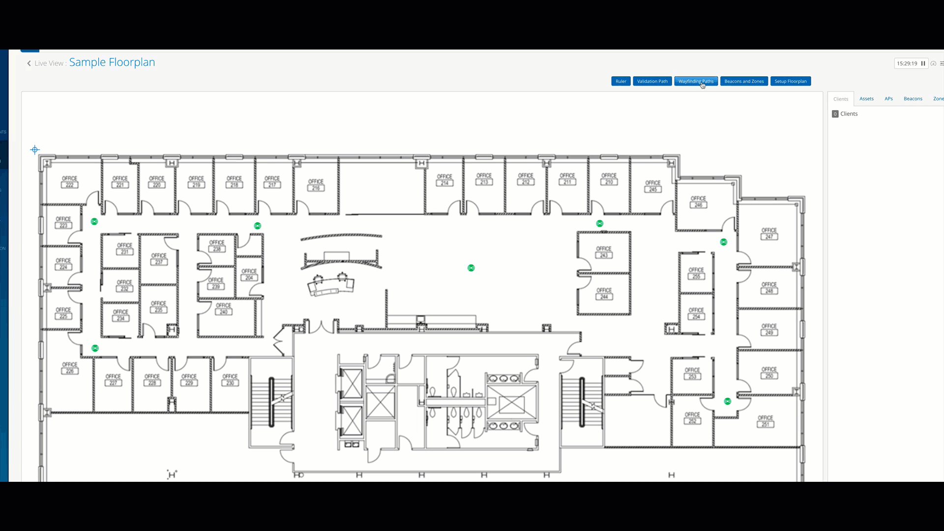
In the Mist portal, after you've gone to Location > Live View and clicked on the floor plan that you want to add wayfinding paths to, click the wayfinding paths button.
Under Drawing tool on the right, click insert path click inside the floor plan to indicate the starting point of the path. Then, click the next point to continue drawing the path. Make sure the lines of your path are truly connected.
On larger floor plans, you may need to zoom in to ensure this. Finally, click save to save the changes.
- 开始绘制您的路径,如下所示:
- 单击平面图内以指示路径的起点。
- 移动到您希望路径包含的下一个点,然后单击该点继续绘制路径。
- 单击绘制的最后一个点以完成路径绘制。这将退出绘图工具。
 注意:
注意:若要重播动画,请刷新网页。